






Leave the people behind as you set out towards the far reaches of Yakusugiland. Head either around the 180-Minute Course loop, or on a trail for the magical domain of the tree called Shaka-sugi. I highly recommend a hike to Shaka Sugi to hikers who are traveling by bus. The hike to Tachu Dake is NOT timed for public bus travel, but you can still enjoy the rougher terrain and solitude these two courses offer.
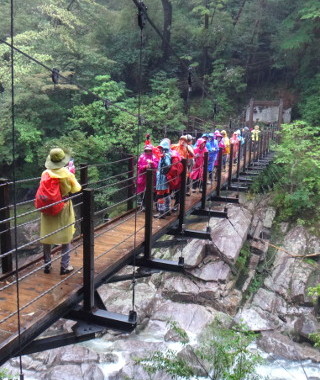 From
the valley of the Arakawa River...
From
the valley of the Arakawa River...
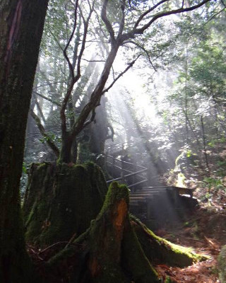 and
the forest in the clouds...
and
the forest in the clouds...
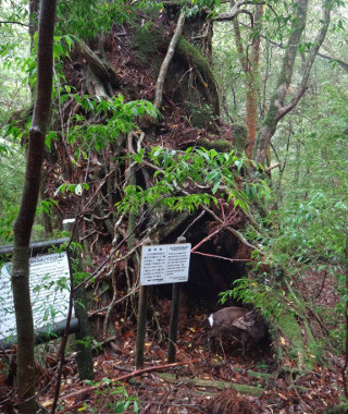 ...past trees
cut down hundreds of years ago that now foster a younger
generation. . .
...past trees
cut down hundreds of years ago that now foster a younger
generation. . .
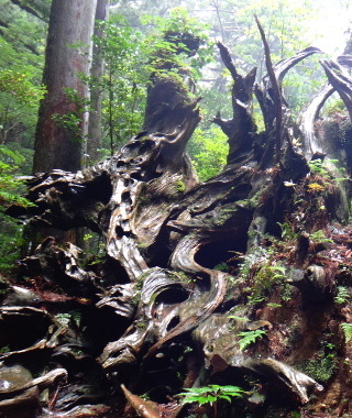 and
others fallen naturally. . .
and
others fallen naturally. . .
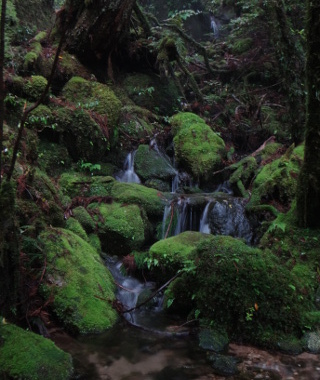 over meandering
brooks with hidden potential. . .
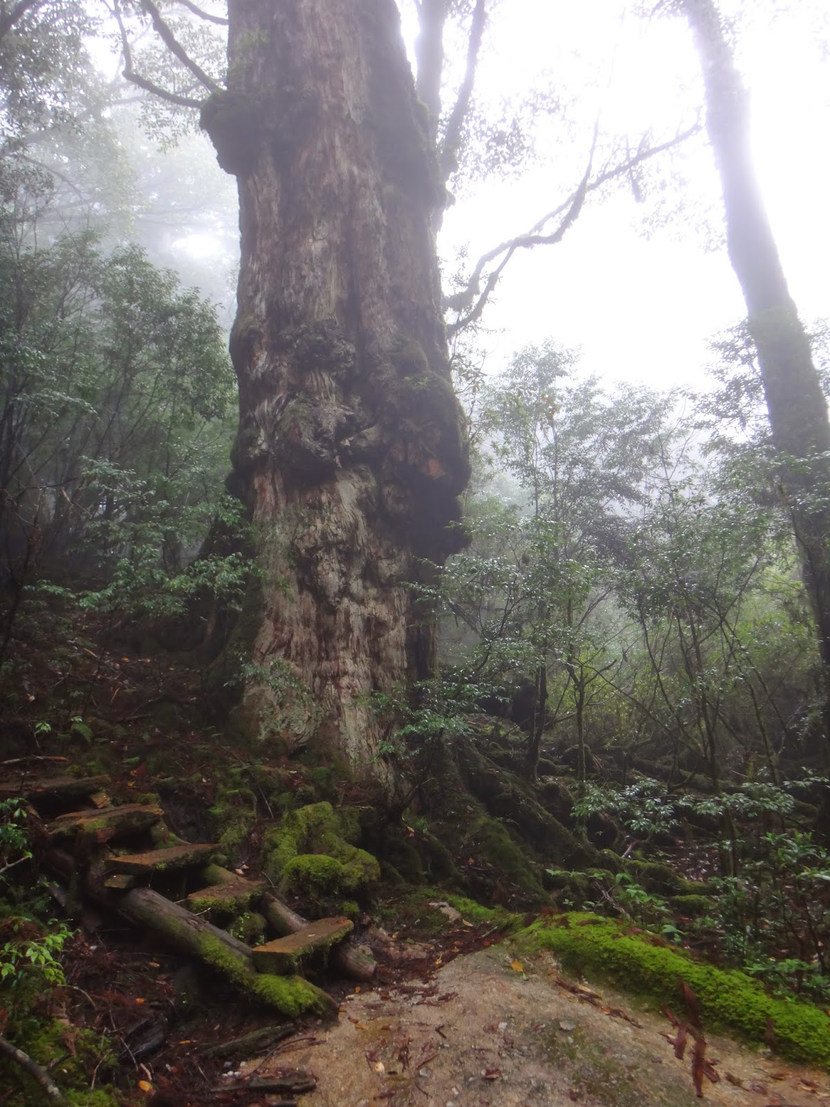
...hike to
this millenia-year old "Yakusugi" tree: Shaka-Sugi.
over meandering
brooks with hidden potential. . .
...hike to
this millenia-year old "Yakusugi" tree: Shaka-Sugi.
Links:
- Official Yakusugiland Website
- Certified Guide List
- Hiking Notification
- Brochure and Island Map
- Trail Times, Bus Schedule
Content last updated in 2020.
- Experience Level:
- Beginner~Intermmediate
-rocks/roots, water - Trail Head Access:
- Bus, Car, or Taxi
- Time:
- 2~3.5 hours
- Round Trip Distance:
- ** km
- Trail Head Elevation:
- 980 m
- Peak Elevation:
- ** m
| Deer/Monkey Sightings | ☆☆☆☆☆ |
| Yakusugi Trees | ☆☆☆☆☆ |
| Mossy Forests | ☆☆☆☆☆ |
| Vista Views | ☆☆☆☆☆ |
| Endurance | ⚠⚠⚠⚠⚠ |
| Strength & Technicality | ⚠⚠⚠⚠⚠ |
| Crowds | ⚠⚠⚠⚠⚠ |
| Weather Cancellations | ⚠⚠⚠⚠ (Extreme rain, high winds, road closures) |
- Costs:
-
The recommended park donation is ¥500 per hiker. Between
Yakusugiland and Anbo, the bus costs around ¥800
each way.
For a guided hike, expect to pay ¥7,000~¥240,000 per hiker. - Getting to the Trailhead (GPS coords: 30.3048, 130.59952):
- The closest town is Anbo. You can take a car (only if you are confident in your driving), taxi, or
bus. There are several buses each day, and you can use the
Yakutani bus pass. Check the bus schedule though, because you may have time to do the 180-minute course and still take the bus up to see Kigen Sugi as well.
At the trail entrance there is a public shelter open during park hours, with wifi and a small store, but they do not sell food (2020) so make sure you bring a lunch with you.
- Toilets:
- There toilets at the park entrance. As these are provided by the town, ¥100 donation is recommended. You are expected to bring and use a disposable toilet kit (wag bag) along the trail if necessary.
- Equipment List:
- Water Bottle + Lunch, Rain Jacket + Rain Pants, Map + Compass, Hiking Shoes, etc.
- The Hike:
- Although slippery, the walking around the front of the park is quit easy. The terrain suddenly becomes rough when you cross the Arakawa bridge. Watch for the turn-off to the 150-minute trail: It's easy to miss. There is some slippery root-climbing and non-standard staircases that take a bit of finesse.
- 150-Minute Course
- The turn-off for the 210-Minute Tenmon no Mori Course is more noticeable. I highly recommend this trail if you're feeling adventurous. If you get to this turn-off and don't feel so confident, however, there's still plenty of deep forest to enjoy along the second half of the 150-minute trail. Also, if you finish the 250-minute trail in good time, you can probably still catch the bus to see Kigen Sugi up the road.
- 210-Minute Course (Tenmon no Mori):
- The signs for Tenmon no Mori don't immediately look like anything special, but take a minute to appreciate the scale of huge trees and the birdsong around you.
If you continue on just a couple more minutes, the trail heads down to a brook that passes in front of the ancient tree nicknamed the
Shaka Sugi. There is signboard here (2020), but it's easy to spot nex to the trail, and from there the trail heads up again, so just don't
go uphill after you reach Tenmon no Mori and you'll get there.
Don't be tempted to attempt Tacchu Dake if you are traveling by bus: You're not even halfway to the peak, and the terrain continues to get more difficult. Instead, enjoy the beauty around you.
On your way down, if you turn left at the 150-minute trail, and then right at the 80-minute trail, there will be a large log on the right, and then rocky access to the river on the left. At time of writing, this is a great place to dip your feet in the water if the water is calm. - In the case of bad weather
- Please do not hike on closed trails. The safest and fastest escape route is usually the same way you came. If there is a rock slide, or if you have serious trouble with going
down staircases, once you reach the turn-off to the 210-Minute Course, it may be best to continue around the 150-Minute Course. Just be sure not to
make a wrong turn down the Han no Ego Trail out of the back of Yakusugiland. Depending on your carrier, there is cellphone service
around the front of Yakusugiland and near the peak. The trail is usually muddy, but hikeable except in extreme rains and snow.
**BE WARNED** The 150-Minute and 210-Minute Courses are MUCH more difficult and are also intended to be hiked at a faster pace than the 30, 50, and 80- Minute Courses.