






Brunch at Yodogo River
Enjoy a lazy morning or afternoon hiking into the World Heritage Site and make brunch at the pristine Yodogo River.
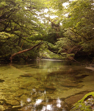 Enjoy the crystal clear and ice-cold Yodogo
River.
Enjoy the crystal clear and ice-cold Yodogo
River.
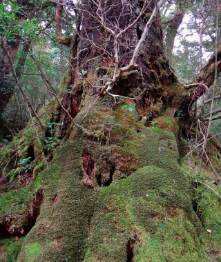 The trail starts amid beautiful old-growth
forests. . .
The trail starts amid beautiful old-growth
forests. . .
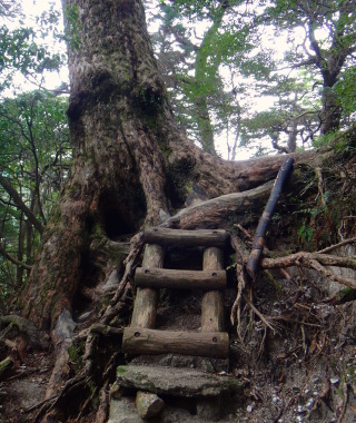 . . . winding around conifers . . .
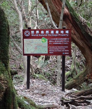 . . . to the World Natural Heritage Site.
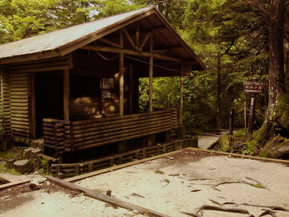 There
is a hut/shelter where many people stay the night.
There
is a hut/shelter where many people stay the night.
Enjoy a lazy morning or afternoon hiking into the World Heritage Site and make brunch at the pristine Yodogo River.
Enjoy the crystal clear and ice-cold Yodogo
River.
The trail starts amid beautiful old-growth
forests. . .
. . . winding around conifers . . .
. . . to the World Natural Heritage Site.
There
is a hut/shelter where many people stay the night.
Links:
Content last updated in 2020.
- Experience Level:
- Intermediate
-varied terrain - Trail Head Access:
- Car or Taxi
- Time:
- 2 Hours
- Round Trip Distance:
- 3 km
- Trail Head Elevation:
- 1365 m
- Peak Elevation:
- 1380 m
| Deer/Monkey Sightings | ☆☆☆☆☆ |
| Yakusugi Trees | ☆☆☆☆☆ |
| Mossy Forests | ☆☆☆☆☆ |
| Vista Views | ☆☆☆☆☆ |
| Endurance | ⚠⚠⚠⚠⚠ |
| Strength & Technicality | ⚠⚠⚠⚠⚠ |
| Crowds | ⚠⚠⚠⚠⚠ |
| Weather Cancellations | ⚠⚠⚠⚠⚠ (Road closures do to extreme rain, etc.) |
- Costs:
-
The town of Yakushima recommends a voluntary donation of ¥1000
(valid for all World-Hertiage Site day hikes in one month) per hiker
and purchase of a disposable toilet kit.
For a guided hike expect to pay from ¥10,000 to ¥24,000, but most guides will not advertise this shorter hike.
The cost of a taxi from Anbo runs around ¥7,000 (2020) each way. - Getting to the Trailhead (GPS coords: 30.3000, 130.5337):
- You can take a taxi or drive. The road from Anbo to the Yodogo Trailhead is about an hour's drive on a narrow, winding road. If you're driving, watch out for monkeys, deer, fallen objects, oncoming traffic, and the occasional cyclist. Most hikers leave the trail head well before dawn, often around 5am.
- Toilets:
- There is a toilet at the trail head and a rudimentary toilet at the destination.
- Also of interest:
- Kigen Sugi
- Equipment List:
- Water Bottle, Lunch + Snacks, Headlamp + Batteries, First Aid Kit, Map, Compass, GPS, Rain Jacket + Rain Pants, Hiking Boots, Spare Jacket, Disposable Toilet Kit, etc.
- The Hike:
- From the Yodogawa (Yodogo) Trail Head at an elevation of 1365 m, set out by dawn on a mountain trail over rough, sometimes muddy, often slippery terrain. Novice hikers will notice that the stairs are not often flat, as this trail is primarily used by more experienced hikers. Keep your eyes open because less than ten minutes into the hike, you'll pass the largest Yakusugi on this trail (cryptomeria tree over 1,000-years old). A half hour later, enter the World Natural Heritage Site, and arrive at the Yodogo Hut (emergency shelter). There is a stream with drinkable water beside the hut, and the beautiful Yodogawa (Yodogo) River lies just out of sight up the trail. Cross the bridge to have lunch on the river bank. In bad weather, you are welcome to use the shelter provided by the hut.
- In the case of bad weather:
- You can take shelter at the hut or at the trail head. The most dangerous part of this hike may be the road to the trail head. Depending on your carrier, there is patchy cell phone service along the trail and on the road between Kigen Sugi and the trail head, as well as at Yakusugiland.